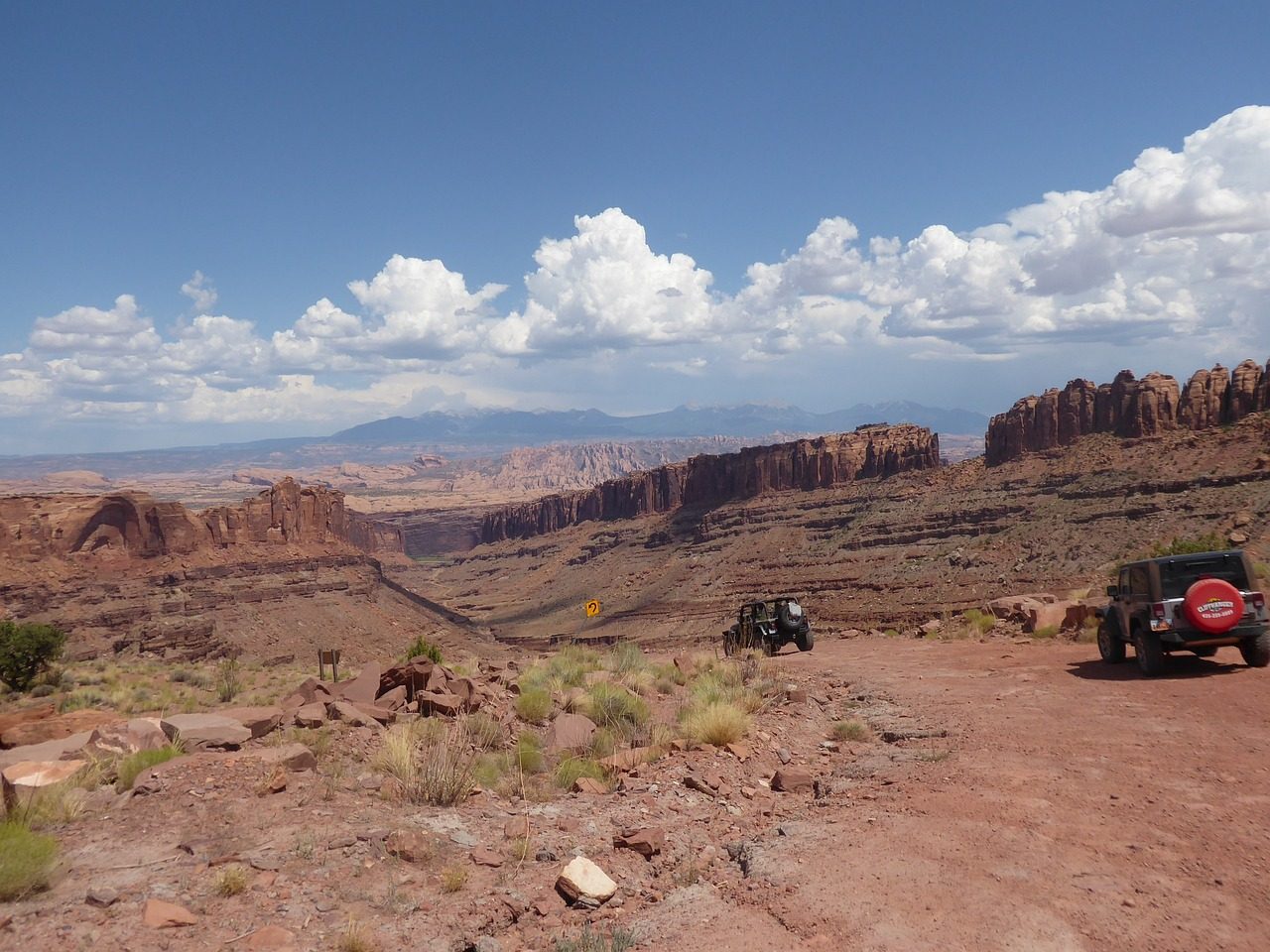
Top of the World: Moab's most dramatic overlook
A rough climb up Waring Mesa ends at a cliff edge with a 360 degree view over Fisher Valley, Onion Creek and the La Sal Mountains. Worth every ledge.
Quick answer: Top of the World climbs from Utah 128 near the old Dewey Bridge site to a viewpoint on Waring Mesa, high above Fisher Valley and Onion Creek. FunTreks rates it difficult for its big ledges and no longer recommends it for stock SUVs, while onX Offroad calls it relatively easy by Moab standards. No tour on our list runs it as a set route, so the way to go with a guide is a private or follow along tour.
- Where
- Off Utah 128 near Dewey Bridge
- Distance
- About 74 miles round trip from town, 10 off highway
- Rating
- Difficult, FunTreks
- Go with
- A private or follow along guide
The route, stop by stop
Tour routes vary by company. This is what guests most often see.
-
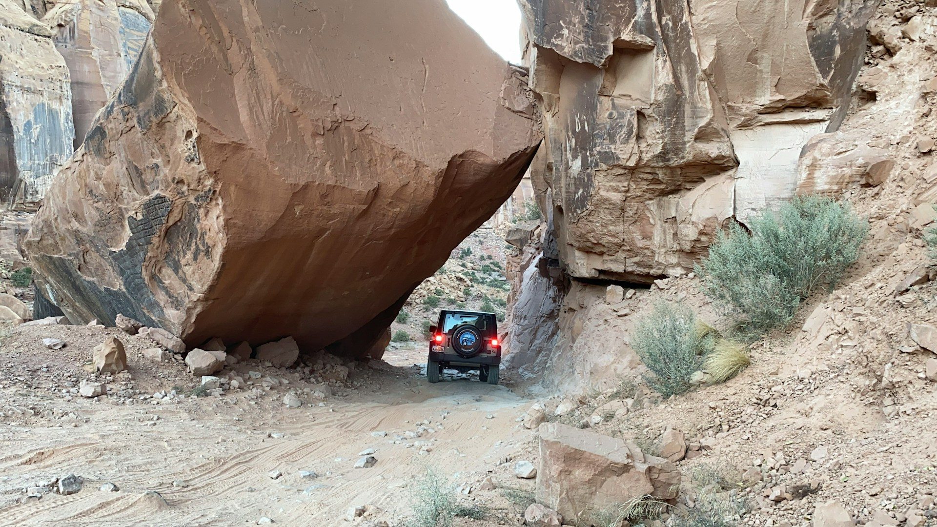
Up the river
Utah 128 follows the Colorado River canyon northeast of town. The trail turns off at the site of the old Dewey Bridge, which burned some years ago.
-
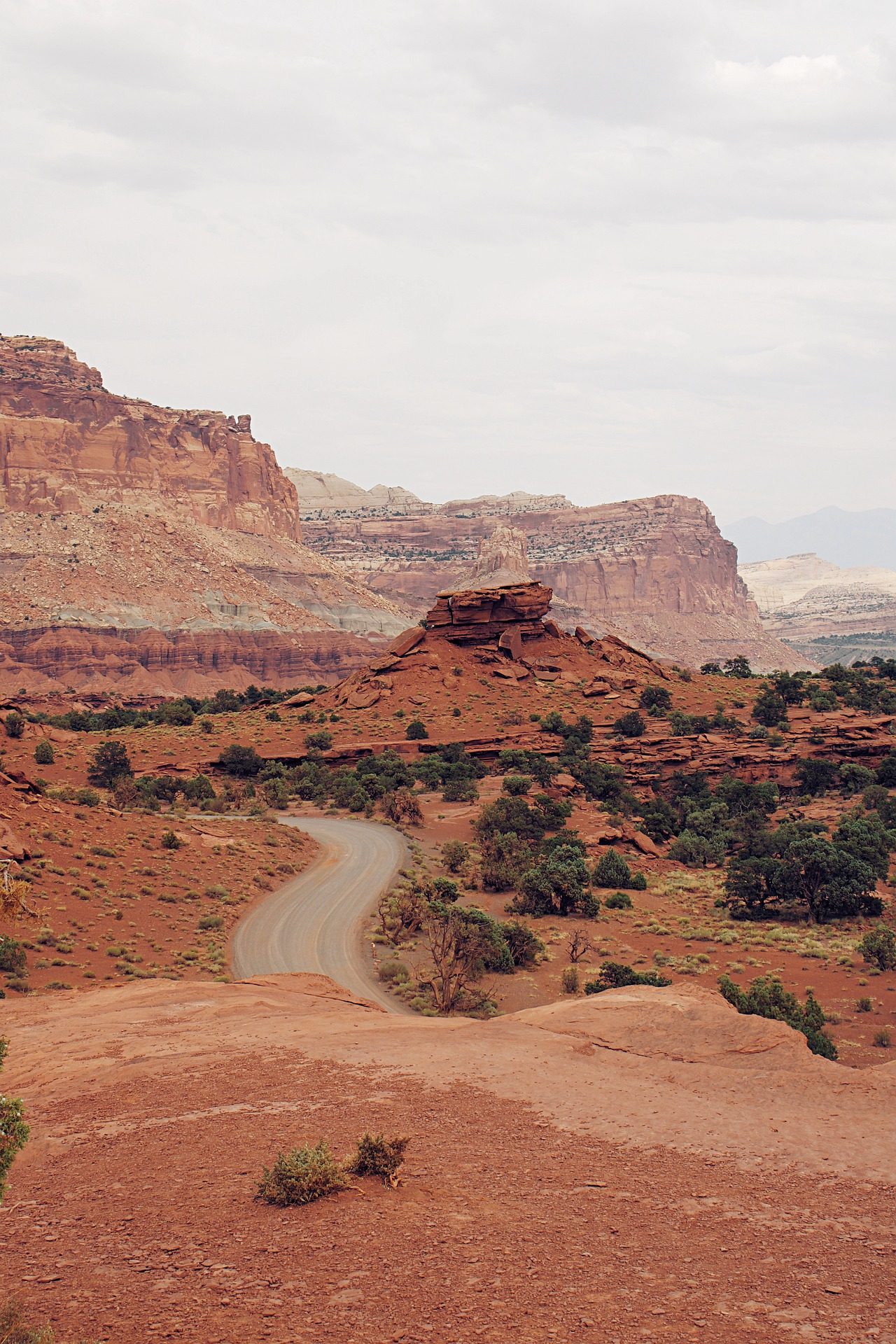
Along the Entrada cliffs
A county road runs along the base of long Entrada Sandstone cliffs. FunTreks calls this stretch easy, and Red Rock 4-Wheelers says the colors are spectacular.
-
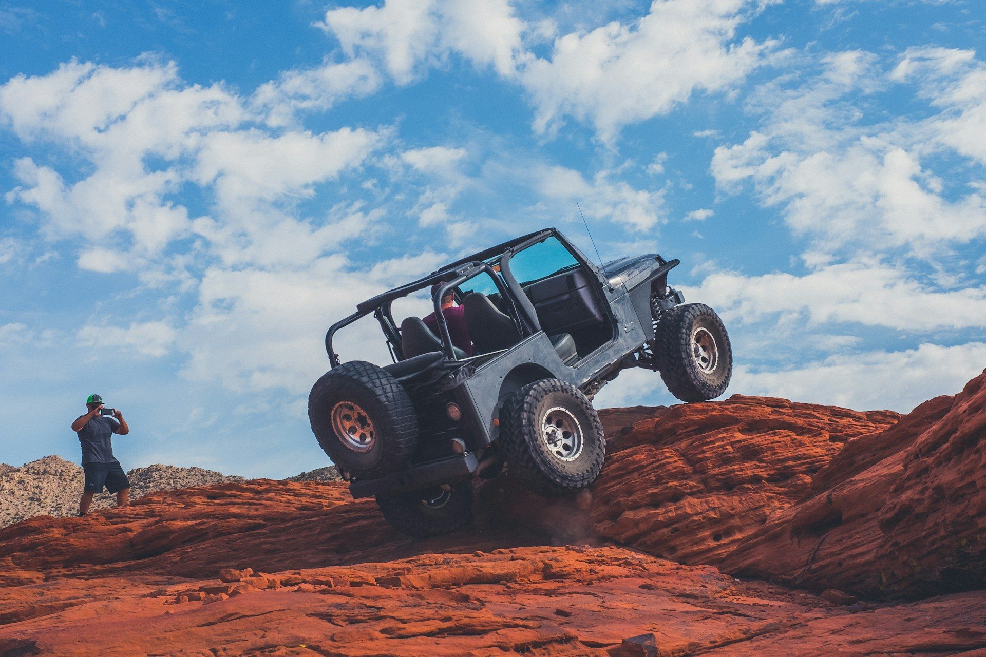
The climb
The 4x4 section is broken, layered rock with progressively larger ledges and several shelf climbs that Red Rock 4-Wheelers says test both vehicle and driver.
-
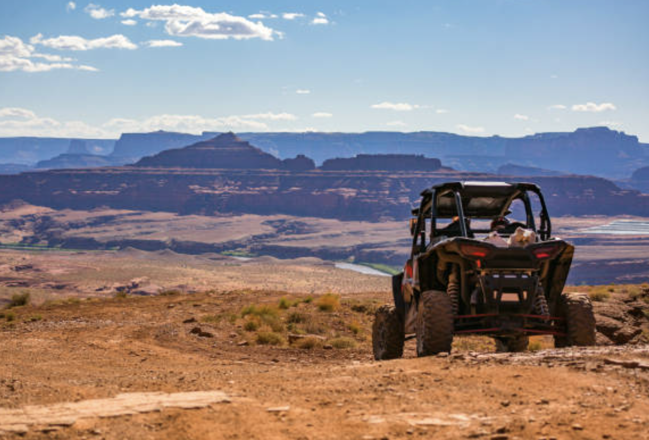
The edge
The trail ends on a cliff edge. FunTreks lists Fisher Towers, the La Sal Mountains, the Priest and Nuns in Castle Valley, Arches National Park and western Colorado in the view.
Tours that run Top of the World
4 tours from local outfitters. Starting prices as published, October 2026.
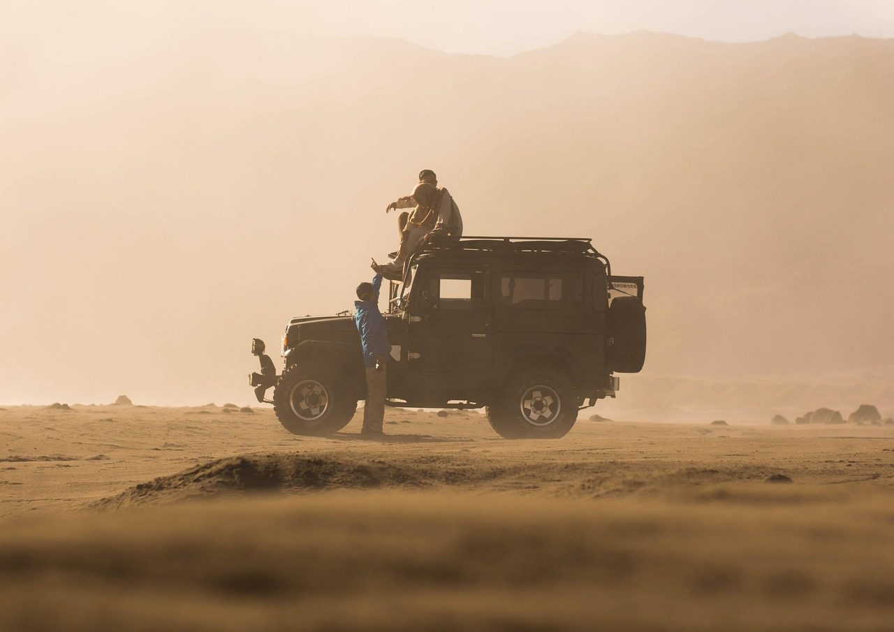
Portal Offroad Tours
Follow along tour in your own vehicle
- Who drives
- You, in your own vehicle
- Guide
- Leads and spots you
- Group
- Private
- Route
- Built around your group
Bring your own Jeep and get a local guide's lines and spotting on Moab's trails.
See rateson the company site
Check availability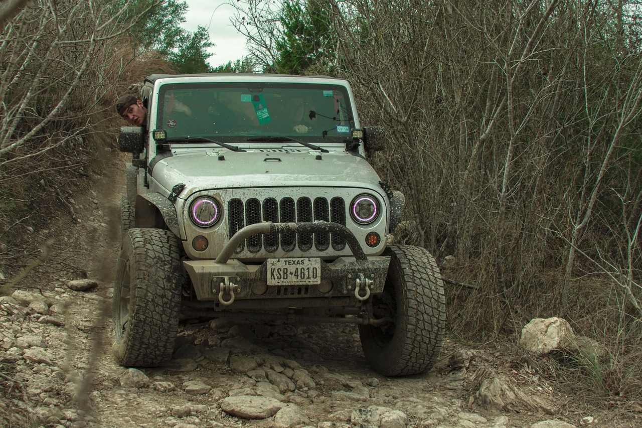
Guided trail run in your own 4x4
- Who drives
- You, in your own vehicle
- Group
- One vehicle up to 30
- Trails
- Jeep Badge of Honor trails and more
- Route
- Built around your group
Bring your own rig and a guide leads the way on the trails you choose, including ones most tours never run.
See rateson the company site
Check availability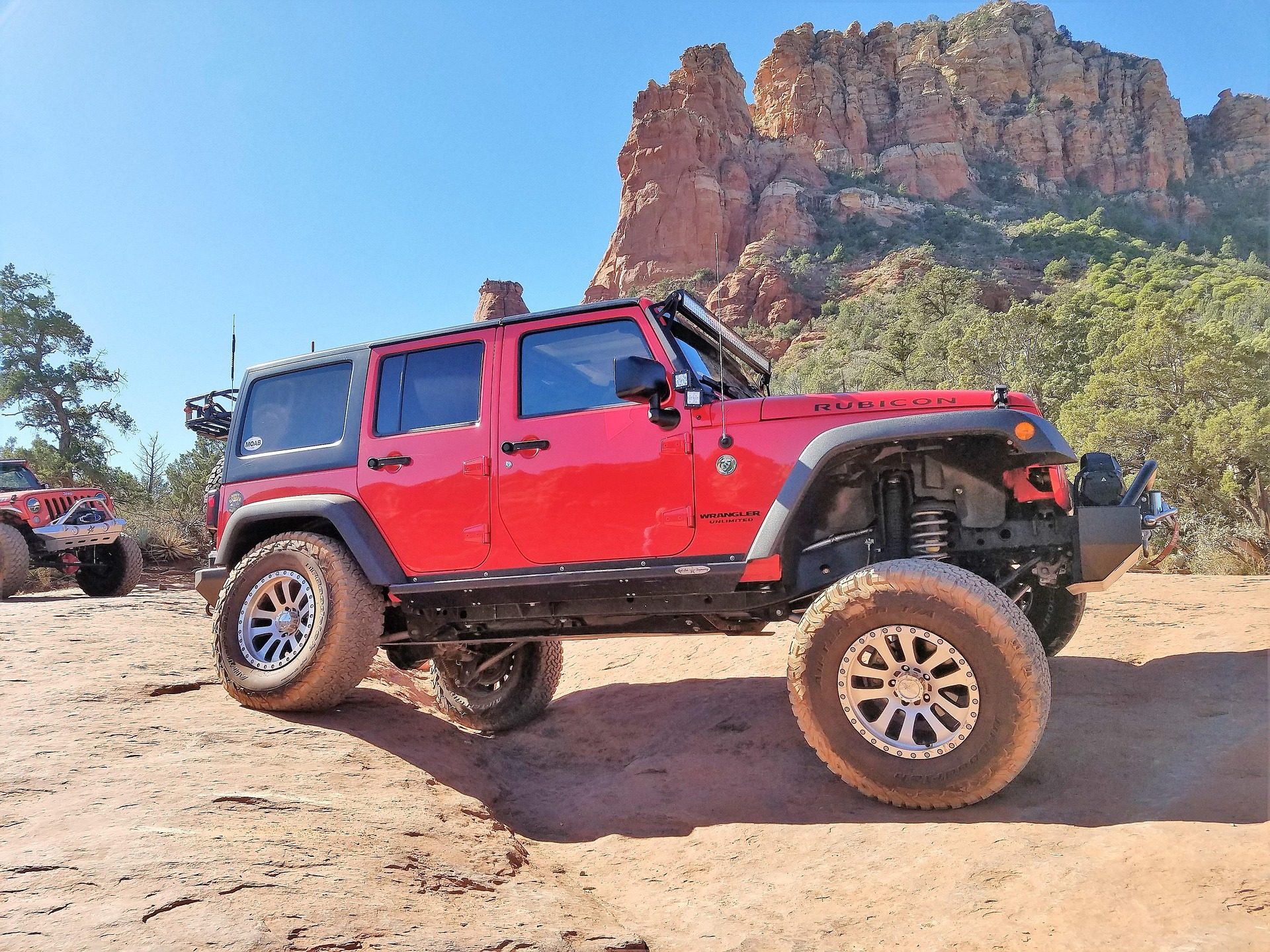
Follow a guide in your own vehicle
- Who drives
- You, in your own vehicle
- Length
- 3 hour minimum
- Guide
- Leads in a Dan Mick Jeep
- Route
- Built around your group
Learn Moab's lines from one of the families that built them, in the vehicle you brought.
$110per hour
Check availability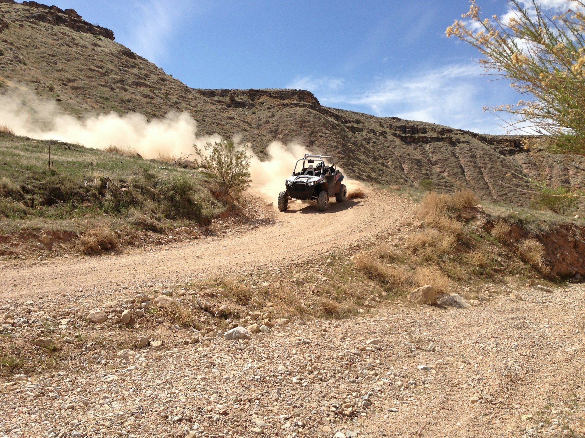
Pro Xperience private tour
- Who drives
- Your guide
- Length
- 3 hours
- Group
- Private
- Route
- You choose
Tell the guide what you want to see and they build the route around your group.
$597per vehicle
Check availabilityRates, ages and schedules change, so confirm with the company when you book. Ride feel labels are our own.
How hard is it, really?
Difficult
Tough shelf climbs
Trail description, Red Rock 4-Wheelers
Relatively easy
onX Offroad, by Moab standards
Sources disagree more here than on almost any trail we cover. FunTreks says the ledges get bigger every year and recommends lots of clearance and at least one locker, while onX describes it as relatively easy by Moab standards. One FunTreks reader reported that most ledges have a bypass or easier line. Go with a guide who has run it recently. How Moab trail ratings work
If you ride along
On a private tour your guide picks the lines. Expect a rough, rocking climb and a very big payoff.
If you drive
Bring a capable, high clearance 4x4. FunTreks no longer recommends this trail for stock SUVs and says experienced ATV and UTV riders will find it challenging.
If heights bother you
The overlook is a true cliff edge. Stay well back; the view is just as good from a few steps away.
Plan your ride
When to go
Spring and fall are best. Summer is hot and exposed, and wet rock makes the ledges harder, so check conditions after rain.
What to wear
Sturdy shoes for walking around the overlook, sun protection, water and a wind layer for the mesa top.
Good to know
It is a long day from town. Red Rock 4-Wheelers' version of the route also passes through narrow Onion Creek canyon, below the overlook.
Driving it yourself?
Experienced drivers can rent a UTV or Jeep and run Top of the World without a guide. Our sister site compares Moab rental companies.
Top of the World tour questions
How hard is Top of the World?
Sources disagree. FunTreks rates it difficult for big ledges, Red Rock 4-Wheelers describes several tough shelf climbs, and onX Offroad calls it relatively easy by Moab standards. A guide who has run it recently is the best judge.
Can I take a tour to Top of the World?
No tour on our list runs it as a set route. Follow along guides such as Portal Offroad Tours, Dan Mick's and Outlaw Adventure Tours can lead you in your own 4x4, and Epic's Pro Xperience builds custom routes. Confirm the trail when you book.
Can a stock SUV drive Top of the World?
FunTreks no longer recommends it for stock SUVs. Plan on a high clearance 4x4, ideally with a locker.
Where is Top of the World?
On Waring Mesa northeast of Moab. The trail leaves Utah 128 at the site of the old Dewey Bridge. Red Rock 4-Wheelers lists about 74 miles round trip from town, 10 of them off highway.
What can you see from Top of the World?
Fisher Valley and Onion Creek below, the La Sal Mountains, Fisher Towers, the Priest and Nuns in Castle Valley, Arches National Park and western Colorado on a clear day.
Book your Top of the World tour
Spring and fall are Moab's busiest seasons, so book as soon as you know your dates.
Nobody pays to appear on this site. As of October 2026 we have no affiliate relationships and every company link is editorial. Affiliate disclosure